 I’m looking for some help and suggestions, but first a little background on my latest project.
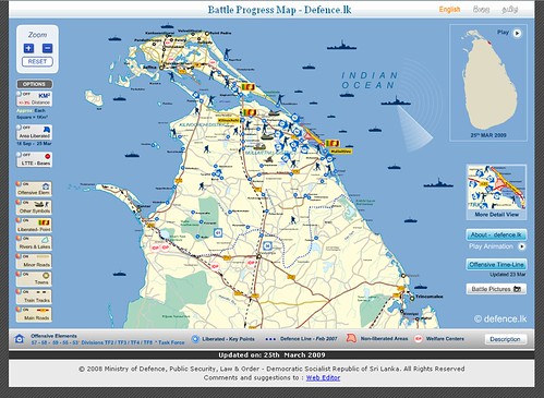
I’m a bit of a map geek – I’m fascinated by maps and how data can be illustrated with maps. I periodically post things on this blog but I actually run across a lot more cool map apps than I can share in mid- to long-form blog posts here.
I use a number of different social bookmarking and social news sites – it’s a research interest of mine, so I probably have accounts on far too many of them. When I come across a blog post on a cool old map or some interesting new real estate geodata site I’ll save/share it in a number of places, including StumbleUpon, Delicious, Reddit, and sometimes others. I also share things via Google Reader.
This is far to diffuse, so I thought I might make a separate mini-blog just for map geekery. But I already spend more than enough time with the blogs and services I’m using now – I’m only able to support another blog if I can automate some part of this giant messy workflow.
This would be pretty similar to how I manage my microblogging / status updates now. I have my Google Reader items posted to FriendFeed, which updates Twitter, which updates Facebook via the Facebook Twitter app. Convoluted, but now that it’s set up I can post something once and have it seen by friends on different services.
I’ve played around with a few different services:
Tumblr – Tumblr makes it very easy to import feeds, which is great for what I’m looking for. The only drawbacks are that so far I can’t narrow down some feeds to really target map bookmarks and I don’t see any easy way to add geodata.
Vox – I’ve only played around with it a bit, but I’m not sure what sets Vox apart from other blog hosts.
WordPress.com – Actually, I thought this would be perfect given the right plugins, but wordpress.com doesn’t have plugins. Setting up and managing yet another WordPress instance doesn’t sound too appealing.
Blogger – Blogger is great, and I should probably use it a bit more considering it’s a Google product. Unfortunately everything I saw in a quick search about posting to Blogger from RSS showed up on somewhat questionable SEO blogs, so I’m wary.
So I’m still looking. Any recommendations on what would be the easiest tiny-blog system to use?


